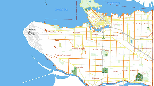
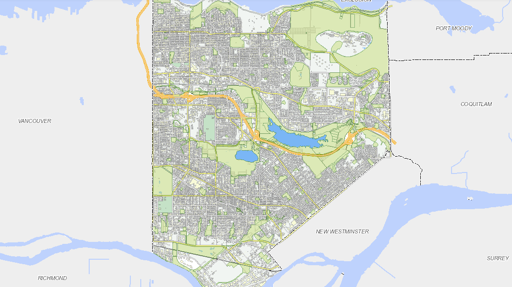
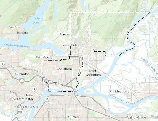
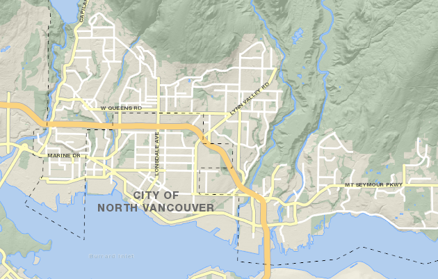
Using the GIS mapping services from your municipality
GIS Mapping can be a very useful tool when in the design stage of a construction project. At Vancouver Drafting we recommend finding your property on your local municipalities GIS system. This tool can help with rough estimates about setbacks, servicing locations and many other items.
There are a variety of decisions that must be made during the design and construction phases of a project that requires knowledge of geography. Where certain things will go, where utilities are located, and what the area’s landscape is like are just a few simple questions related to construction. There is a geographic information system (GIS mapping) that provides a technological tool for understanding the geography of a certain area. This allows builders, municipalities and clients to make educated decisions that will make sense.
All About GIS Mapping
This technology is something that is used even early on in the building permit drawings phase. Before a permit can even be issued, a concept and design must be in the works. A person that is working on the project must be able to select data that is necessary for the task at hand. You can use a thematic map within the GIS program that allows you to add and remove certain layers of information. You can start with something very basic to lay out your concept. From there, you can add other layers to see if your ideas are going to make sense. These maps provide accurate and real information that can be used intricately during the design and construction phases.
What Kind of Information is Beneficial?
There are obviously many physical attributes of an area that are important when it comes to design. In addition to those physical attributes, you can use GIS mapping to add in things like the education level of residents in the area. Average ages and employment statuses are other very common layers that are provided by local municipalities for the design and construction phases of construction projects. This information can be used to create a design that will fit into an area. It will also help people make a decision on where they want their new construction project to be completed.
Different Program Capabilities
There are a number of different GIS programs that provide different information from a geographic standpoint. This information can be included on a map that is easy to use. This information can be accessed for many different countries that are located all over the world. The majority of governments and municipalities make this information accessible to the public. You can usually access GIS packages with a map file database, but other information can be found from commercial vendors and municipalities. There is also the potential to personally gather information from out in the field. Global positioning units are used for this purpose to attach a specific set of coordinates to a location that has a feature worth noting.
Interactivity
In addition to provide beneficial information, these GIS maps are interactive. You can scan through these maps in a variety of directions, choosing what you want to see. You can select from streets that you want to see. From there, you are able to select how many roads you want visible, how you want to view them, whether you want to include storm drains, gas lines, etc. You can add in restaurants, schools, hospitals, foliage and so much more. If you are using a very high-tech GIS program, you may even be able to view how a certain area will erode over time. You may even be able to track where a storm would go.
GIS truly gives a new level of sophistication to the design and construction phases of a project. There is no need to start a project on a whim, hoping that it works out in the future. In fact, you have the ability to really plan for the future to see is a project in a specific area is a wise decision from a financial and personal standpoint. From the beginning stages of building permit drawings in order to secure a permit, to finally breaking ground, utilizing this technology is a very integral part of the entire project overall.
BUILDING PERMIT
Vancouver Drafting has the skills and experience to deliver the drawings for your next construction project. Call us today to get started on your drawing package.
FREE QUOTE
Call 604-706-1745 or fill out our online quote form to receive your free quote. We guaranty to smoothly guide you through the permit process in your local municipality.

CONTACT US
Contact us for examples of past projects from our office and to discuss the details regarding your next project. We will provide you with a free quote and answer any questions.